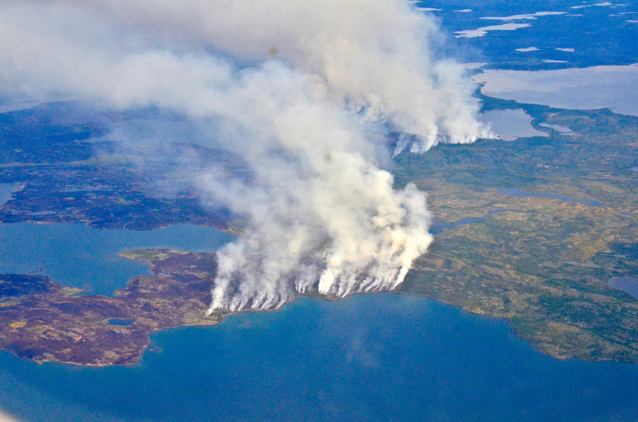
UC Irvine Earth system scientists create Arctic and boreal wildfire atlas

In 2014, megafires in Canada’s Northwest Territories scorched more than 7 million acres of forest.
As the planet warms, Arctic and boreal regions are warming relatively faster than other regions of the planet. At the same time, wildfires in those regions are increasing in frequency, size and severity. To understand the nature of the evolving problem, climate scientists at the University of California, Irvine, and Vrije Universiteit Amsterdam in the Netherlands used satellite data from 2012 to the present to develop a wildfire atlas. “Our system tracks Arctic-boreal wildfires throughout their lifetime at 12-hourly time steps,” said Rebecca Scholten, a postdoctoral scholar in the Department of Earth System Science and the lead author of the new Nature Geoscience study. “What’s really nice about it is it can tell you something about wildfire regimes and their sensitivity to climate change.” Specifically, the team can assess the degree to which nearby human populations influence the number of wildfires that spark, their size, severity as well as how different plant types shape such fire regime properties. “We found stark differences between human-dominated regions and wilderness areas,” said Scholten, who added that, depending on local fire regulations in a specific area, humans can increase or attenuate fire activity. Scholten and her team used their fire atlas to identify seven distinct Arctic-boreal “pyroregions”, each with their unique characteristics, with the aim of identifying high-risk fire regions. “We can see a very large variability in fire regimes driven by human and environmental factors, and my hope is this translates to value for fire management,” Scholten said. “The team found that remote areas of eastern Siberia and Canada appear more likely to contribute to biome-wide extreme fire years than other boreal forest regions in Europe and southern Siberia.”
